
Mapping Services
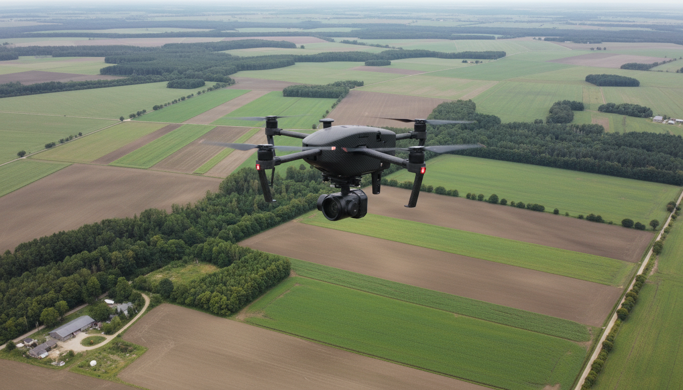
Using high‑resolution thermal imaging and certified FAA Part 107 pilots, we locate and recover wildlife quickly, safely, and with minimal disruption to the environment.
Thermal Services
Our FAA Part 107 certified pilot uses thermal imaging and mapping drones to locate game, pets, and map hunting properties.
About WTS Aerial
WTS Aerial Solutions specializes in sport hunting support, lost pet recovery, and wildlife management mapping. Our FAA certified pilot delivers fast, reliable results with safety first.
